


GIS Integrated Solution Service (Geographic Information System Implementation and Operation Support)
The integrated GIS solution provided by GIS Co., Ltd. offers consistent support from consulting to data acquisition, application development, and operation and maintenance.
■ Overview
GIS Co., Ltd. provides integrated solutions related to Geographic Information Systems (GIS) for private companies and government agencies. We offer one-stop support for GIS implementation, from business requirements analysis and data collection to application development, system deployment, and maintenance.
■ Features
・ GIS Expert Consulting: Total support from requirements analysis, implementation planning, to technology selection
・ Geospatial Data Services: Field surveys, map creation using aerial photographs and satellite imagery, and terrain data construction using LiDAR, etc.
・ GIS Application Development: System design tailored to usage objectives and flexible development capabilities
・ System Implementation and Infrastructure Construction: Integrated implementation support including not only GIS but also IT infrastructure
・ Operation and Maintenance Services: Support for long-term stable operation for both hardware and software
■ Service Contents
1. Professional Consulting Services
・ GIS implementation planning and requirements analysis
・ Technology selection and feasibility assessment
・ Project scope/budget/timeline formulation
2. Geospatial Data Services
・ Field surveys and field data collection
・ Aerial photogrammetry, satellite image processing
・ Terrain data/elevation model creation using LiDAR
・ 3D city model and reconstruction services
3. GIS Application Development
・ Design and development of Web/mobile GIS applications tailored to business operations
・ Implementation of spatial analysis, mapping, and data management functions
4. System Implementation Services
・ Design and construction of GIS servers and networks
・ Storage/DB integration, user management, and security design
・ Overall project management and execution
5. Maintenance Services
・ Regular software updates and patch management
・ Hardware monitoring and replacement support
・ System operation support and incident response
■ Applications
・ Urban planning and land use analysis and management
・ Infrastructure monitoring (power grids, water supply, communication networks, etc.)
・ Environmental protection and disaster prevention mapping
・ Data visualization in public transportation and smart cities
・ Land analysis and optimal utilization in agriculture and forestry
■ Examples of Industries Utilizing Our Services
・ Central government agencies and local authorities (urban planning, land management)
・ Infrastructure operators (electricity, telecommunications, water supply)
・ Construction and real estate development industry
・ Environmental and disaster prevention organizations
・ Universities and research institutions
By consistently supporting the implementation and operation of GIS, we build a system that enables strategic utilization of spatial information.
■ Please download the PDF for details or feel free to contact us.
CONTACT
Contact FormCompany Information
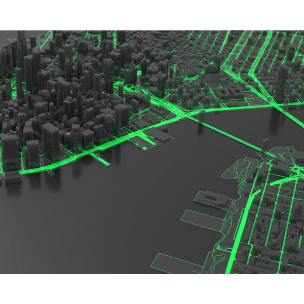
Geosystem / GIS System Integrations / Geospatial Mapping
Provides end-to-end services including GIS application design, development, and installation, image processing, high-resolution digital maps, field surveys, satellite image analysis, IT infrastructure ...